With Saskatchewan having been soaked by rain for the better part of last week, and areas like Estevan getting in excess of three inches of cumulative rain, the knock-off impact has been a sharp drop-off of active drilling rigs working throughout the province.
On Sept. 13, the active drilling rig for Saskatchewan had dropped by almost half from its level of a week before, according to sister publication Rig Locator. While the rig count had been in the 40s for the month of August, it had plummeted to 25 once the rain stopped.
The map on Rig Locator (riglocator.ca) showed a substantial reduction in the number of active drilling rigs in most areas of the province. There was no drilling north of Highway 16 in the northwest. The Kindersley and Swift Current areas were also down substantially.
However, southeast Saskatchewan, with 10 rigs drilling or moving (plus two working on potash) may have been slightly better off, percentage wise.
When roads get soggy, rural municipalities will often impose road bans until they firm up. This is particularly the case in west-central Saskatchewan.
The impact of the rain is being felt across the Western Canadian Sedimentary Basin. Whereas at this time of year, over the last few summers, an oil company like Crescent Point Energy Corp. would have around 24 rigs working to place it in the top spot, on Sept. 13, it only took six active rigs for Tourmaline Oil Corp. to claim the number one position.
Crescent Point, which has been the perennial leader across the nation for much of the last several years, had five rigs going. This tied it for second place with Seven Generations Energy Ltd.
It took all the working rigs of the top five active oil companies to equal the activity of what Crescent Point was doing around this time of year in recent years.
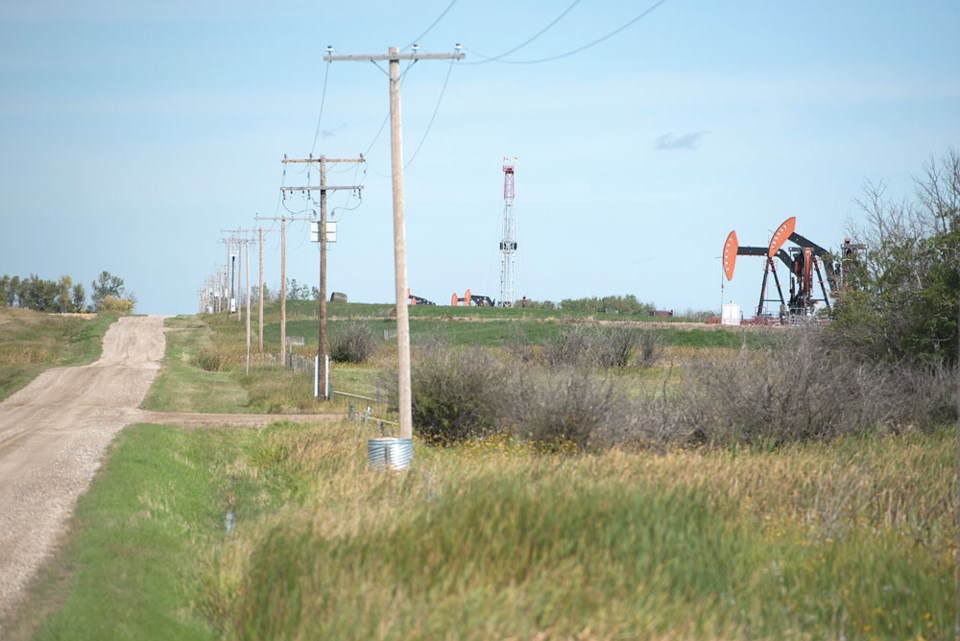
In southeast Saskatchewan, the drilling was largely concentrated in the areas along the U.S. border near Torquay and in a 30-kilometre radius around Lampman. Crescent Point had rigs working at Viewfield, Beaubier and Torquay. Vermillion Energy Inc had rigs at Queensdale and Oungre. Torc Oil & Gas Ltd. had rigs at Outram and Steelman.
Individual rigs were working for Triland Energy Inc. at Wordsworth, Astra Oil Corp. at Steelman, and Fire Sky Energy at Bryant, north of Estevan.
Then there’s the usual rig reported at Esterhazy for Mosaic Potash, and a new regular, Western Potash, south of Kronau.
In the southwest, only two rigs were still turning to the right. Federated Co-operatives Ltd. had one at Bench, halfway between Gull Lake and Shaunavon. Crescent Point had one rig at Eastbrook, southeast of Eastend.
Moving into west-central Saskatchewan, Turnstone Energy Inc. had one rig at Greenan, just southwest of Elrose.
Teiner Energy Ltd. had a rig at Totnes, south of Fiske, another north of Kindersley, and a third southwest of Kerrobert.
That third rig was one of a string of three rigs working in basically a short, straight line, but for different companies. Baytex Energy Ltd. had one, and Steelhead Petroleum Ltd. had another. Tamarack Acquisition Corp. had one rig working near the Alberta border at Milton.
Caltex Resrouces kept plugging away at Cosine, south of Macklin, with two rigs working side-by-side, within two kilometres of the Alberta border.
The only two rigs working in northwest Saskatchewan were a Baytex rig just outside of Maidstone, and a Canadian Natural Resources Ltd.-hired rig working three kilometres south of the Lloydminster Husky Oil Upgrader.
Rig Locator has recently totally overhauled its map feature, making it much easier to use, and providing more detail when you click on individual rigs. In addition to surface location, operator, contractor, rig name, spud date and predicted depth, it also includes UWI, well type (horizontal or vertical), objective (oil/gas) and projected zone. There is also a button to click on for directions and a Google Map view.
Rig Locator is a paid subscription service within Glacier Media, parent company of the Estevan Mercury. In our reporting, we use Rig Locator’s numbers, which include rigs that are moving as part of the rig count. This is opposed to other rig counts which only include rigs that are actively drilling.


