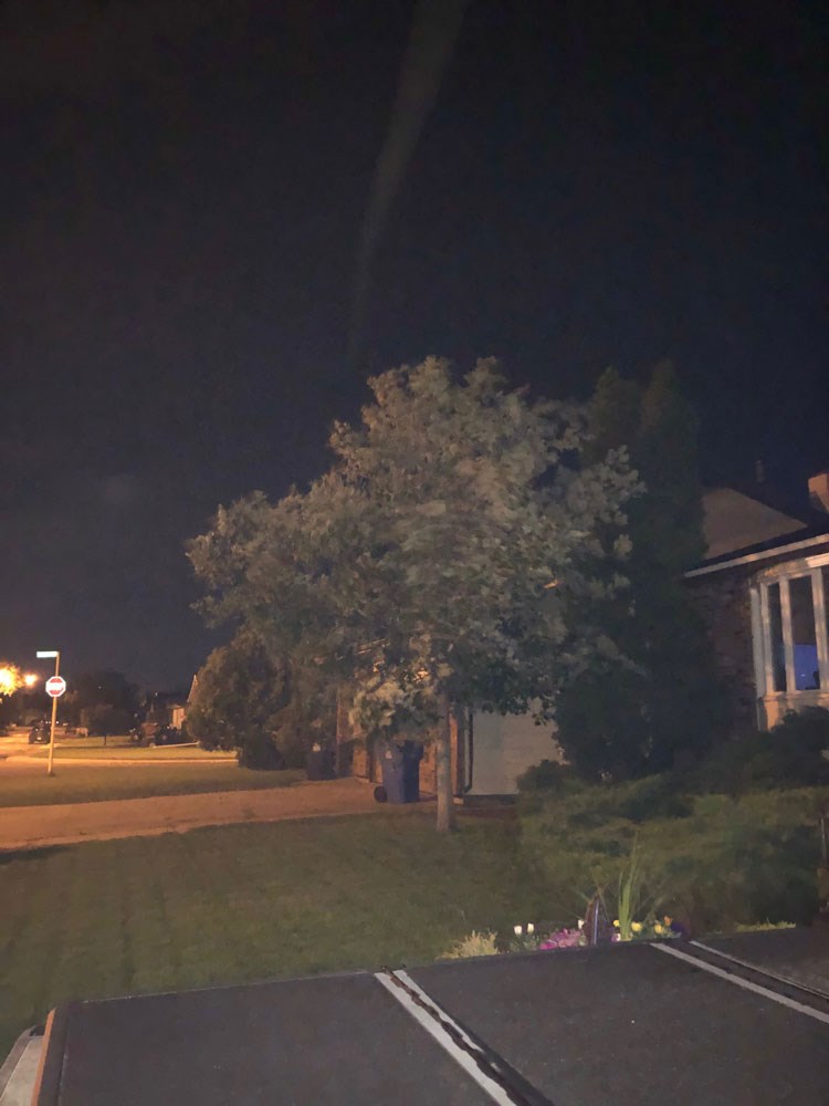
The Estevan area once again had some strong winds blow through the region on Monday evening, but it didn’t receive a lot of precipitation, despite what was in the forecast.
Environment Canada issued a severe thunderstorm watch Monday afternoon at 3:54 p.m., saying there was a risk for a powerful thunderstorm to roll through the area that could bring powerful winds, golf ball-sized hail, between 100 and 125 millimetres of rain (about four to five inches) and possibly even a tornado.
While there were threatening skies, the amount of rain recorded Monday at Environment Canada’s station in Estevan was two-tenths of a millimetre.
As for wind speeds, they peaked at 93 kilometres per hour just before midnight.
Severe thunderstorm watches were lifted at 12:03 a.m. Tuesday. No warnings were issued.
SaskPower crews were not dispatched to any power outages, in Estevan, but they were called to one that affected Carlyle and other communities, including Kisbey, Kipling, Kennedy, White Bear First Nation and Resort, Stoughton, Forget, Arcola, Ocean Man First Nation, Pheasant Rump First Nation, Kenosee Lake and surrounding areas. According to SaskPower, the power was out for more than 75 minutes.
As for Tuesday, thundershowers are once again expected, with more than 25 millimetres, or an inch of rain in the forecast.


